Length: 3.5 miles
Time: 1 hour, 30 minutes
Difficulty: Medium
Elevation Gain: 636 feet
Dogs: Allowed
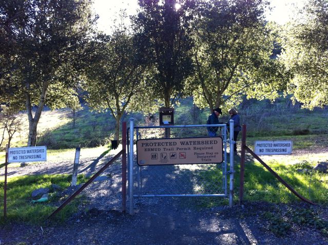
EBMUD Permit: Not Required
Calories: Around 800
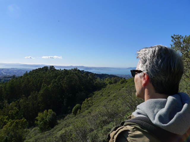
Highlights: This was my first favorite hike in the Lamorinda area and my kids used to call it the Ladybug hike since they found a bazillion ladybugs! Start in Canyon at the former site of “Eastport” and hike up a scenic, wooded canyon to Sibley Volcanic Preserve (reaching 1600 feet), hike around Round Top, and descend back the way you came. This is a great year-round hike – a manageable amount of mud in the winter and a good dose of shade in the summer.
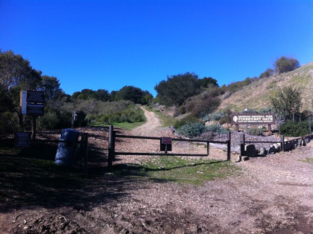
Directions: Drive to Moraga and then go south on Canyon Road, which ends at Pinehurst Road. Go right on Pinehurst Road. You will pass through the tiny town of Canyon. It’s fun to remember that a train used to run through this canyon. After a little over two miles you will reach a hairpin turn with a fire road gate. Park there.
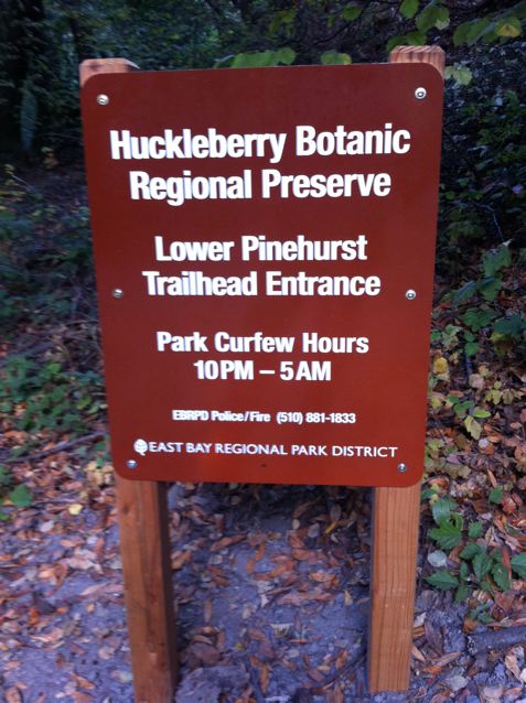
Trailhead: You will see a fire road gate and a sign that says “Lower Pinehurst Trail.”
Special Notes: Sibley allows dogs off leash away from the parking lot, so you’ll likely run into hikers with dogs on the Round Top loop.
A couple hundred yards before reaching the hairpin turn, you will pass the spot (on the left side) where the Sacramento Northern Railroad used to go through a tunnel between Canyon and Sheperd’s Canyon (on the Oakland side). The Sacramento Northern Railroad was an electric train that ran 183 miles from Oakland all the way to Chico. The first stop on the East side of the tunnel was called Eastport (the eastern portal). Eastport still shows up in Wikipedia and on Google Maps!


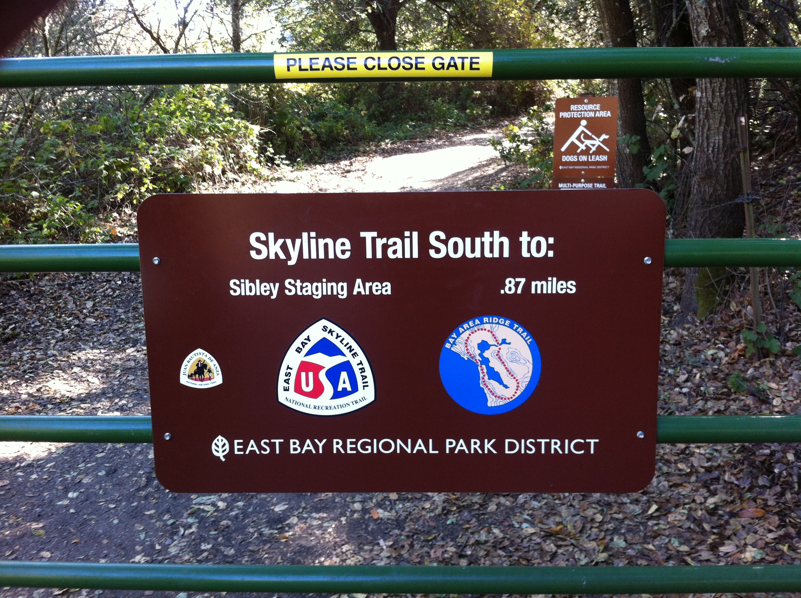
After parking at the hairpin turn, begin your hike by walking past the gate. After about a quarter mile, and a short climb, you will reach the Skyline National Recreation Trail, which runs for 32 miles through the East Bay Hills and is part of the Bay Area Ridge Trail. Going left will take you to Huckleberry Preserve. Going right will take you towards Sibley Volcanic Preserve. Go right.
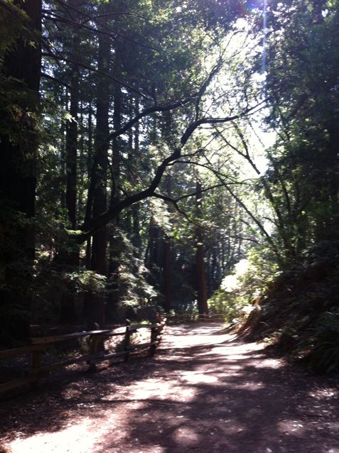
Right away you will cross the San Leandro Creek, which begins near Sibley and continues for an amazing 21.7 miles through San Leandro Reservoir, Lake Chabot and then out to the Bay near the Oakland Airport. This is one of the few places in the Lamorinda area where you can hike next to a running creek.

Climbing up the ridge to Sibley.
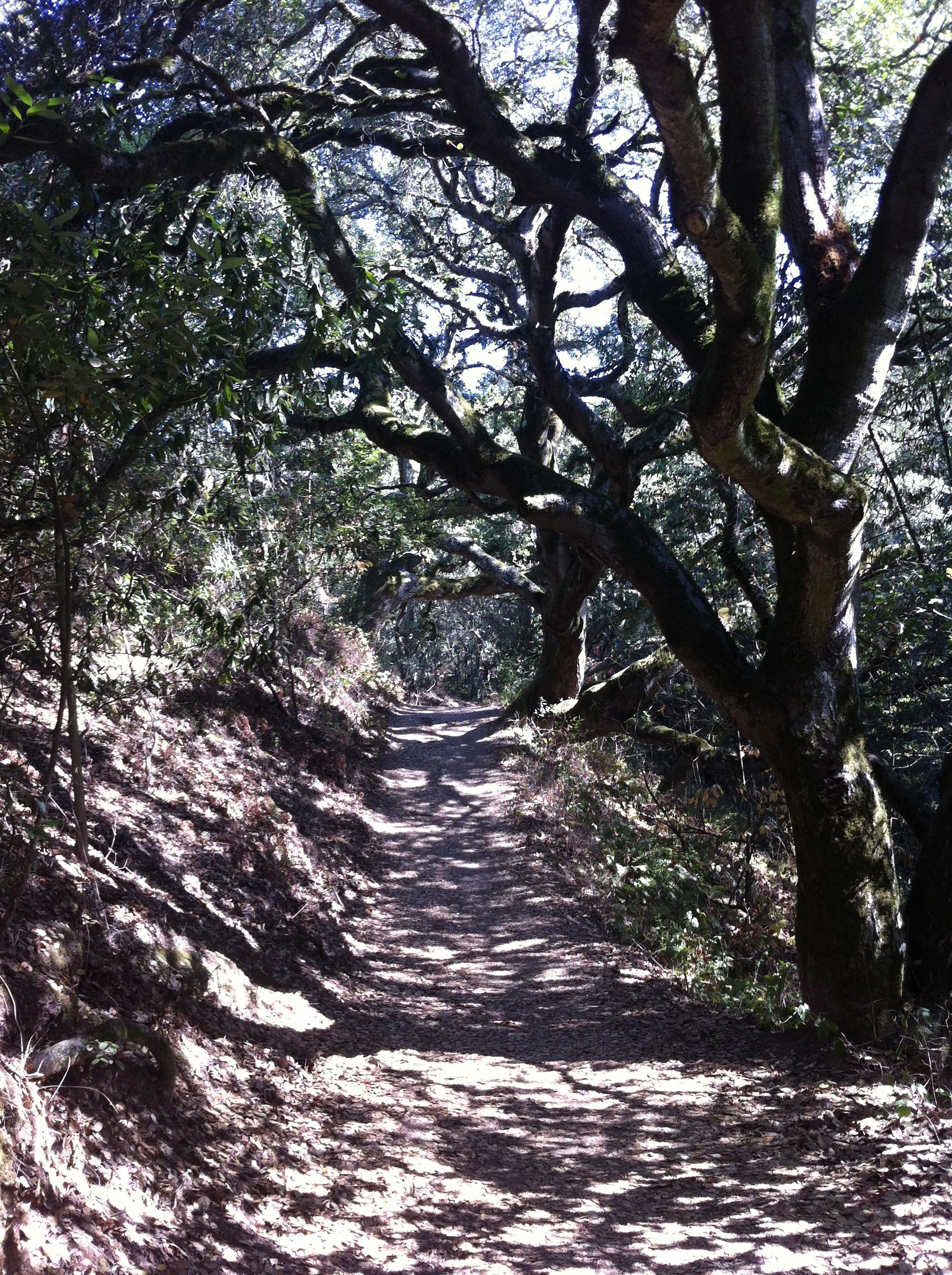
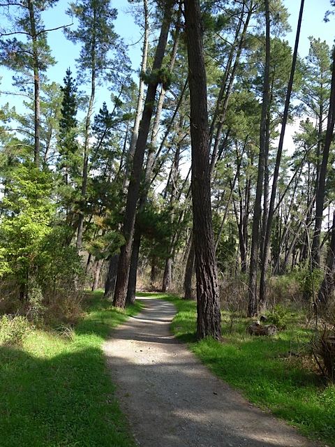
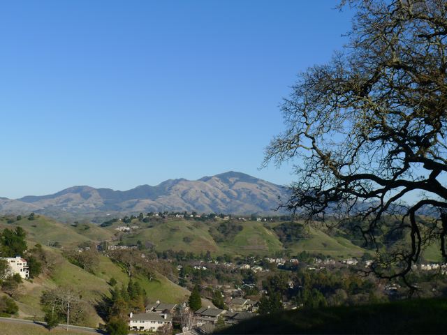
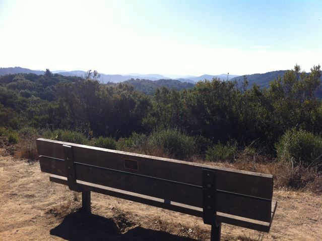
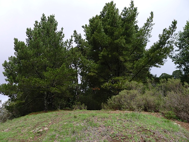
After following the creek for a little ways, the trail will begin climbing up a ridge, and eventually reach a little, open grassy area with pine trees behind it (see picture). This is a great spot to catch your breath, turn around, and enjoy an amazing view. Continue through the grove of Monterey pine trees.

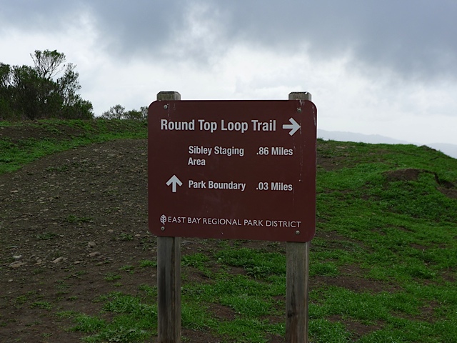
After about 25 minutes of hiking and just a hair over one mile you will reach a junction with the Round Top Loop Trail. This trail circles around Round Top, the central feature of Sibley Volcanic Regional Preserve, and one of the highest peaks in the area at 1763 feet. Take a right. You will be following the Round Top Loop Trail for about a mile all the way around Round Top.

Junction with Round Top Loop Trail – take a right
It’s pretty cool that we have a 10 million year old volcano in our back yard! It features a complex volcanic center that was the source of most of the lavas that underlie the ridges from Inspiration Point in Tilden Regional Park to Moraga. Tectonic forces on the Hayward and Moraga earthquake faults have uplifted the Berkeley hills and tilted the Round Top volcano complex on its side. So, under the grassy cover, its guts are exposed, and a self-guided brochure is available highlighting visible geological features.

Eucalyptus trees
In the next section of the hike there are many, many eucalyptus trees. They have become such a familiar sight in California that many people probably don’t realize that they are really transplants from Australia. Almost all of the 600-plus species of Eucalyptus are native to Australia, where they are the dominant plants in a number of different habitats. They are some of the tallest trees in the world and extremely drought tolerant.
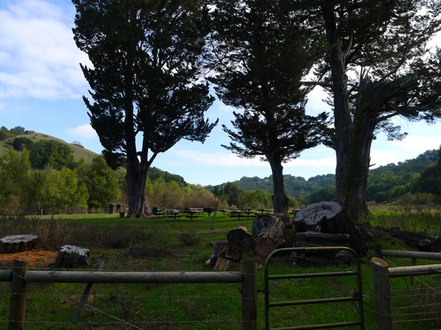
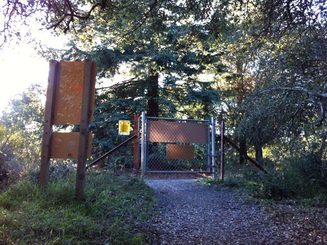
After going through a cow gate, you will a junction, with a fire road heading off to the right. For this hike you want to stay left. Taking a right will lead you into a “land banked” area that is not open to the public yet. Read more about this at the end of the article.
As you come down the hill you will see an overlook, where you can view the old quarry pit. Looking down into the pit you’ll see a large labyrinth. It was crafted in 1989 by Montclair sculptor and psychic Helena Mazzariello as “a gift to the world.”
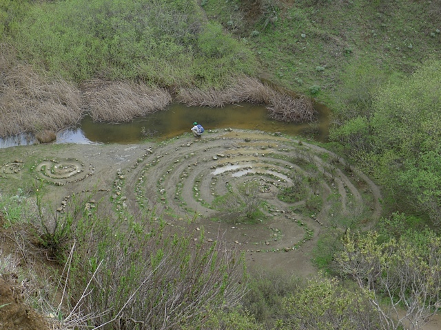
Quarry pit with labyrinth
Continue past the viewpoint and then take a left to stay on the Round Top Loop Trail. After going through another cow gate, you’ll reach a junction, where you’ll see a small sign on your left that says “Geologic Marker #1.” Hang a left at that point. The Round Top Loop Trail continues across the paved road leading up the hill.
In a quarter mile or so you’ll cross over a road and reach the junction where you started on the Round Top Loop Trail. Continue straight and descend back down the canyon the way you came.
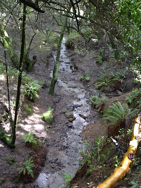
View of San Leandro Creek on way back
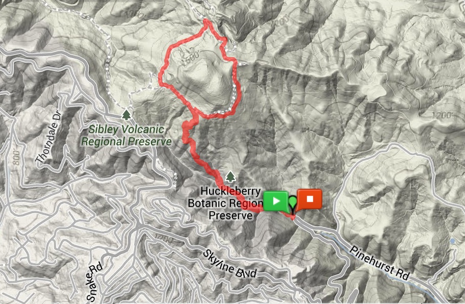
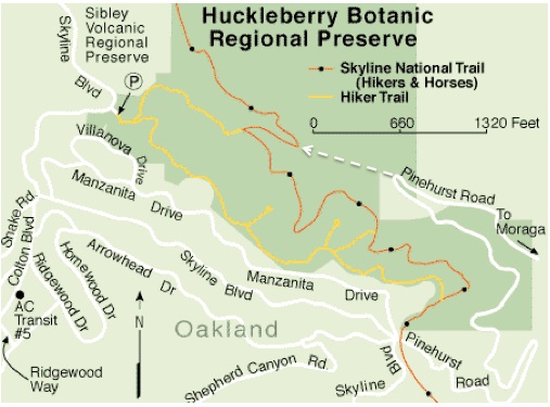
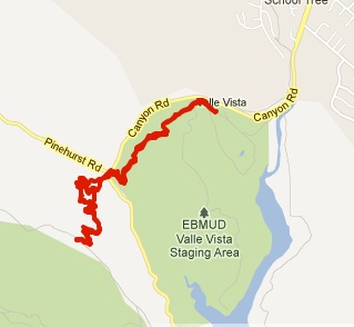
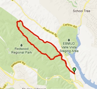
Map of trail
Alternate Loop for the Adventurous
There is an alternate loop for those that are willing to climb fences and explore areas not open to the public. Enter at your own risk!! After going through the Eucalyptus zone and the cow gate, take a right at the next fire road where it says “Park Boundary 0.3 Miles.”

Shortly you will reach a fire road gate that borders the land-banked area. This land-banked area will eventually be developed and added to the Sibley Preserve. If you continue on this fire road it will take you down a ridge with incredible views out towards Moraga and Mt. Diablo. Stay right and you’ll eventually reach a junction with two large power line towers. Take a right. You’re now on the main road that led out of Eastport, off of Pinehurst Road. As you near Pinehurst Road you’ll see old foundations and other remnants from the days when Eastport was an important train stop and small unincorporated town. When you reach Pinehurst Road, take a right and walk along the side of the road back to your car. You’ll walk right by the spot where the tunnel was! Check out pictures of Eastport back in the 50’s.

Alternate Loop