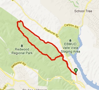
Length: 3.1 miles
Time: 1 hour and 15 minutes
Total Climbing: 751 feet
Difficulty: Medium
EBMUD Permit Required: Yes
Dogs: No
Calories: 350?
Highlights: This is the fastest access to redwood trees from the Lamorinda area and crosses two undisturbed streams. After hiking from the Valley Vista staging area (south of Moraga) back into the Canyon, you hike up through a nice redwood forest until reaching East Ridge trail in Redwood Park where you turn around.
Directions: Drive to Moraga. Take Canyon Road until you see the Valle Vista Staging Area on your left. Park.
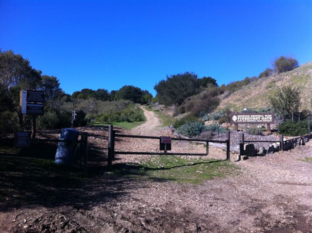
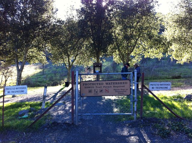
Trailhead: You will see a gate and a sign in kiosk where you enter your EBMUD permit info. Take the trail to the right.
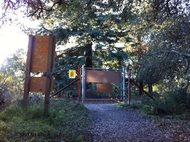
Redwood Trail entry gate – sign in and take a right.

Take a right on the foot path at this junction
Follow the dirt road to the right up a steep hill. You will see a foot trail branch off to the right. That is the way you want to go. The fairly level trail winds along the side of the hill back into the canyon before dropping down into the redwood trees. You’ll cross Indian Creek, which is worth stopping for a minute to admire, before reaching a gate.
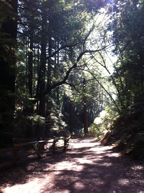
Cross the street to the gate on the south side of Pinehurst Road. Now you’ll cross San Leandro Creek before winding steadily up through redwoods and ferns. Stop for a second and realize that you’re hiking in a redwood forest within 20 minutes of your home! We are incredibly lucky to live so near these majestic trees that can grow over 300 feet tall and live over 2000 years! In fact, coastal redwoods are the tallest living species on Earth and the oldest recorded tree lived to more than 2200 years!


This area was once a forest of ancient redwoods, but was completely logged between 1840-1860. You may notice that the new redwood trees (only 150 years old) often grow in rough circles around where an ancient tree would have been. That is because redwoods sprout from their stumps or roots. When the original tree dies, the surrounding shoots may develop into mature trees in a circle around the parent. These groups are known as “fairy rings.” Coast Redwoods like a lot of water and survive in the dry summers by capturing fog and mists that drift in from the ocean.
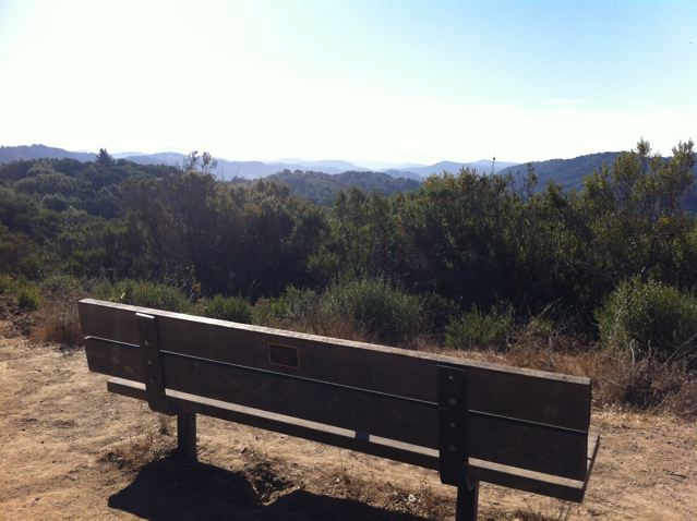
You should reach the top (East Ridge Trail) within 40 minutes or so. You can extend your hike by going left or right a little ways on East Ridge trail or just turn around and head back.
The gate at the top of the hill with East Ridge Trail on the other side
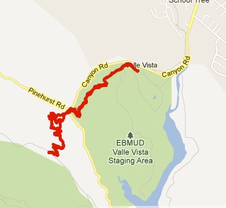
Trail map from MayMyHike